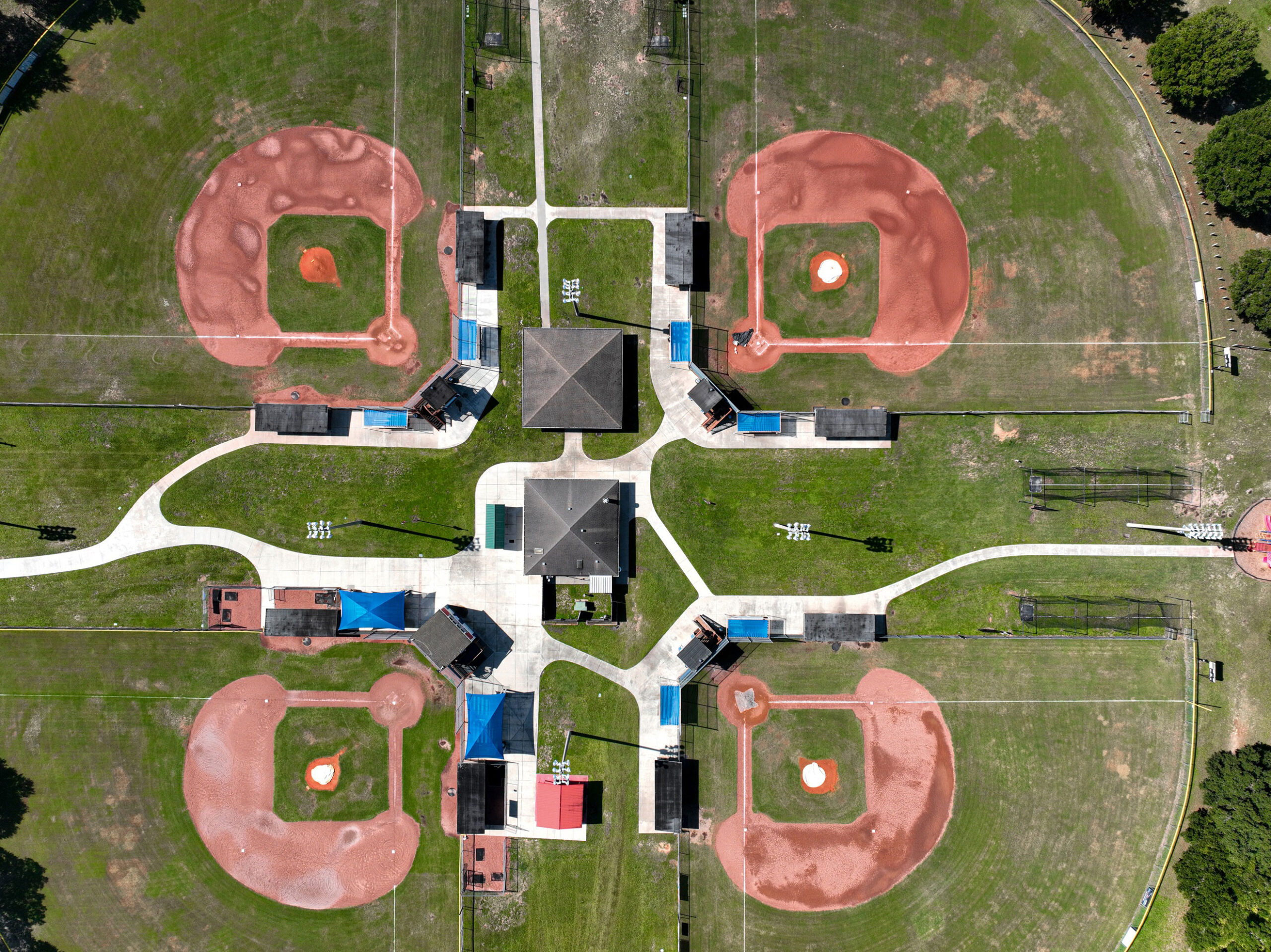
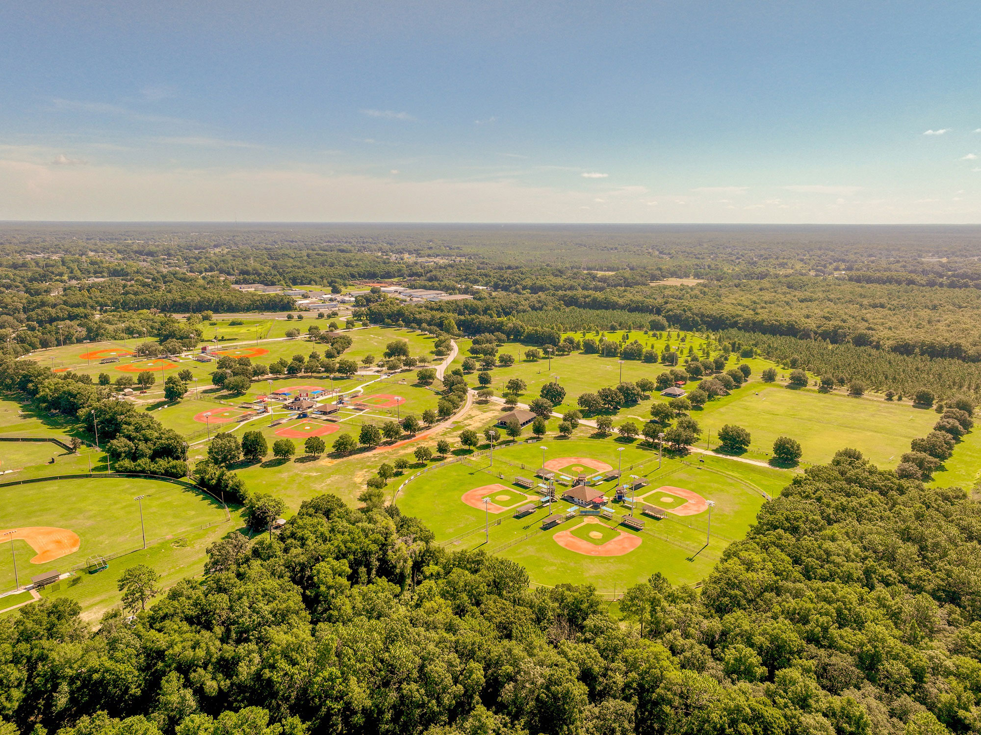
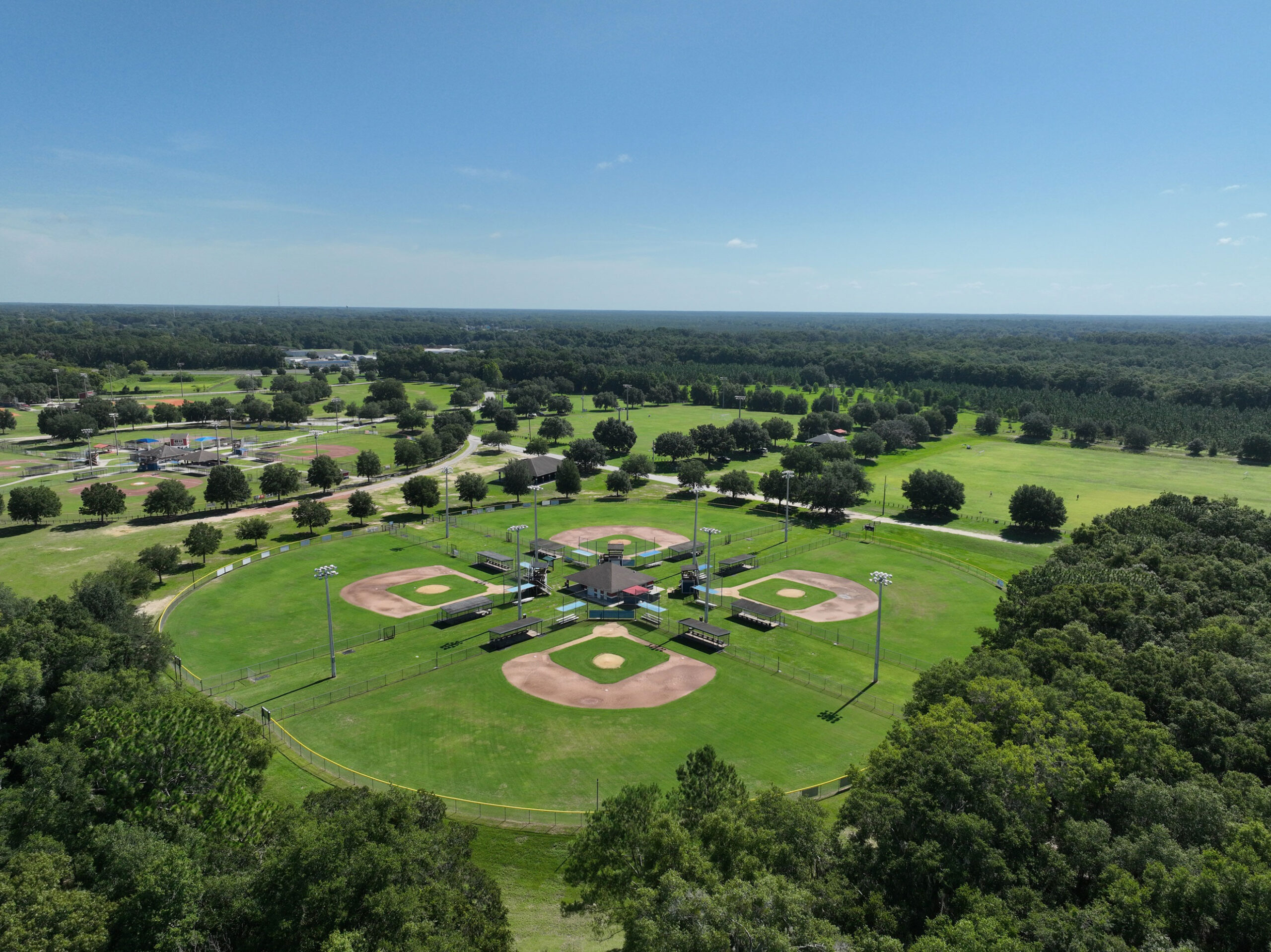
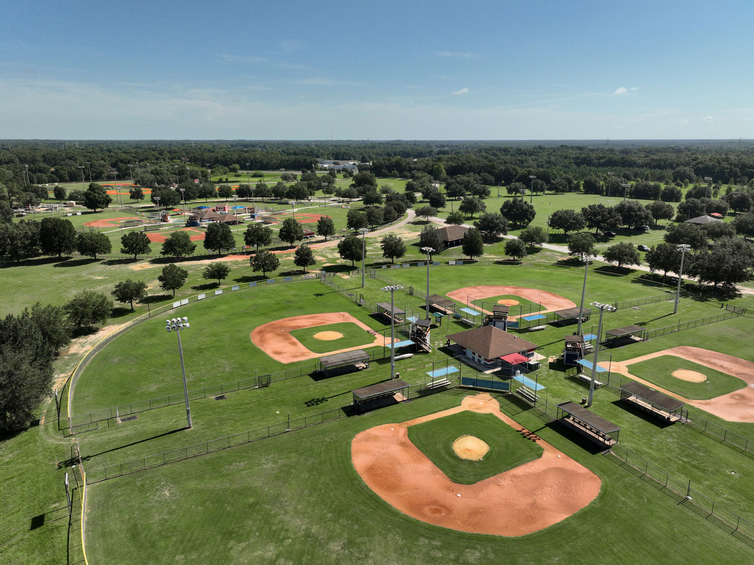
Rotary Sportsplex
Project Brief
CFB Surveying was subcontracted by a partner company to carry out a comprehensive topographic survey of the existing soccer fields and related facilities at the Rotary Sportsplex in Ocala, Florida, an 80-acre public facility in Marion County. The scope of work included the identification and precise mapping of underground utilities. This survey was conducted to gather essential data for a future project that will transition the natural grass fields at the sportsplex to synthetic turf, while also implementing significant parking site improvements. This data collection was crucial for the successful planning and execution of the project, which aims to enhance the sportsplex’s functionality and longevity.
By converting to synthetic turf, the facility will benefit from a more durable and low maintenance playing surface, allowing for potential increased use and more frequent games and events without the downtime required for natural grass maintenance. Additionally, the parking site improvements will address the current limitations and accommodate the needs of the community.
Highlights
- Ahead of Schedule: Demonstrating our commitment to efficiency, CFB Surveying completed the project ahead of schedule, with a 5-week turnaround time. This expedited delivery allowed the client to move forward with the design and construction phases sooner than anticipated.
- Precision and Accuracy: Our surveying techniques ensured highly accurate data collection, which is crucial for the precise design and implementation of synthetic turf and parking improvements.
- Community Impact: New synthetic fields will significantly enhance the sportsplex’s usability, providing a robust and weather-resistant playing surface that will benefit athletes and visitors year-round.
Scope of Work
- Topographic Survey:
- Elevation Data Collection: We meticulously collected spot elevation data at 50-foot intervals, ensuring detailed topographic information.
- Contour Mapping: The survey depicted 1-foot contour intervals, providing a clear representation of the land’s slope and elevation changes.
- Infrastructure Details: We included inverts, sizes, and materials of pipes within storm and sanitary structures in our survey, which are critical for effective water management.
- Tree Location: All native trees greater than or equal to 4 inches DBH (Diameter at Breast Height) were located and documented, aiding in preservation efforts.
- Underground Utility Designation:
- Sub-consultant Coordination: We coordinated with a partner company to achieve American Public Works Association (APWA) Quality Level “B” underground utility designation within the topographic survey limits. This involved the precise location and identification of underground utilities.
- Surveyed Utility Markings: All utility markings were meticulously depicted on the final survey, ensuring comprehensive documentation and facilitating safe construction practices.
Deliverables
- Certified Copies: We provide up to five certified copies of our survey, guaranteeing official documentation for the client’s records and for use in the design and construction process.
- Digital Files: Electronic files in PDF and AutoCAD formats are made available upon request, allowing seamless integration into the client’s digital workflows and design systems.
By delivering precise and reliable survey data, CFB Surveying played a pivotal role in the future enhancement of the Rotary Sportsplex. The conversion to synthetic turf fields not only improves the facility’s resilience and usability but also underscores our dedication to contributing to community-focused projects that have a lasting positive impact.
Project Gallery
CFB Ocala Has a New Home! Learn more about CFB Ocala.