Professional Geospatial Solutions
Why Choose CFB Geospatial?
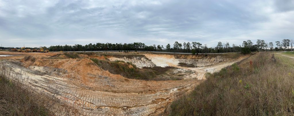
Precision in Planning: Geospatial services from the CFB team provide precise spatial information, improving decision-making in urban planning and infrastructure development along with hyper accurate topographic data.
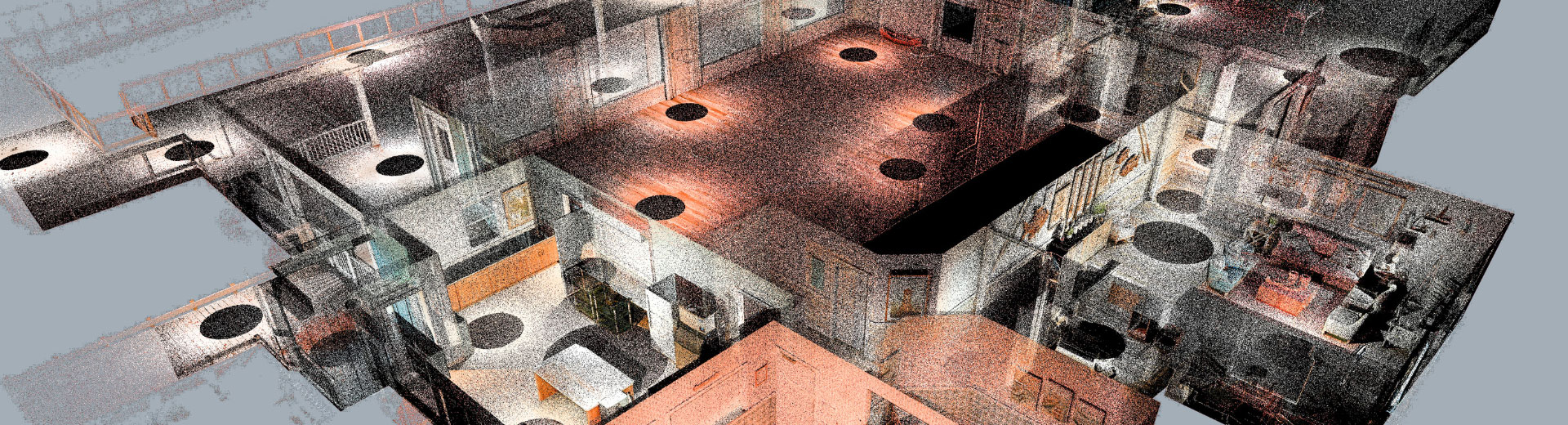
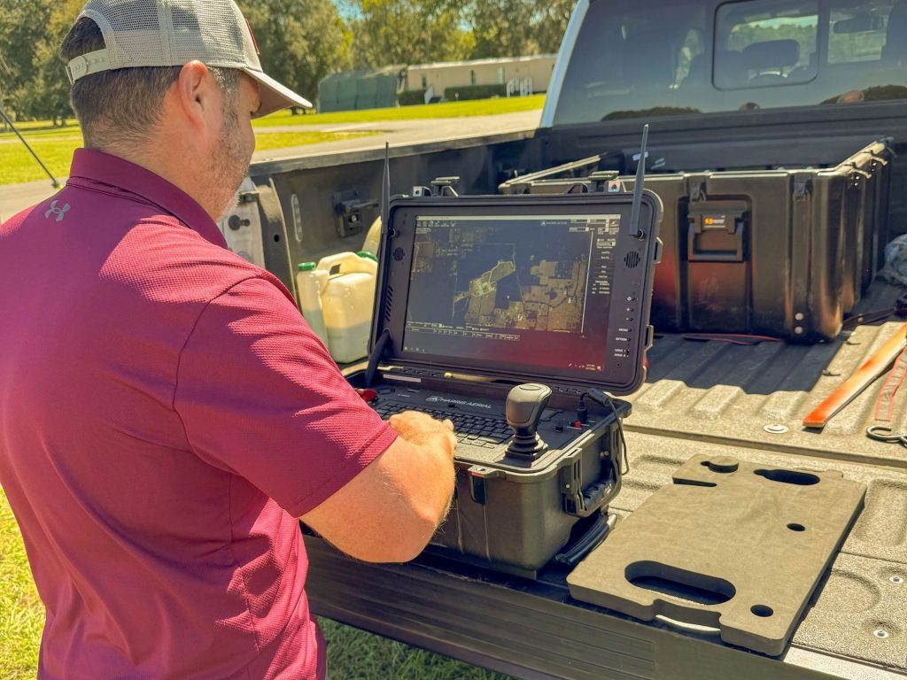
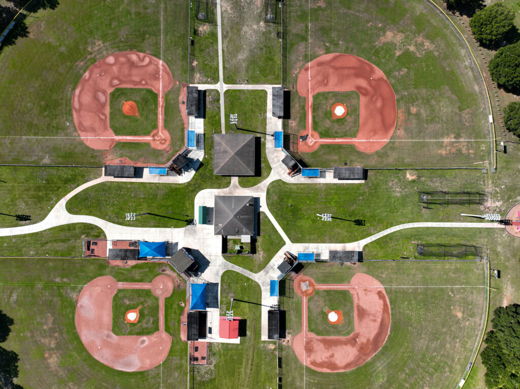
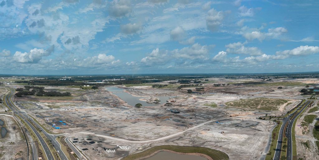
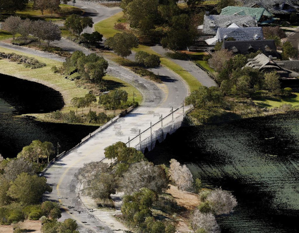
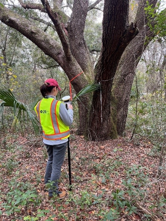
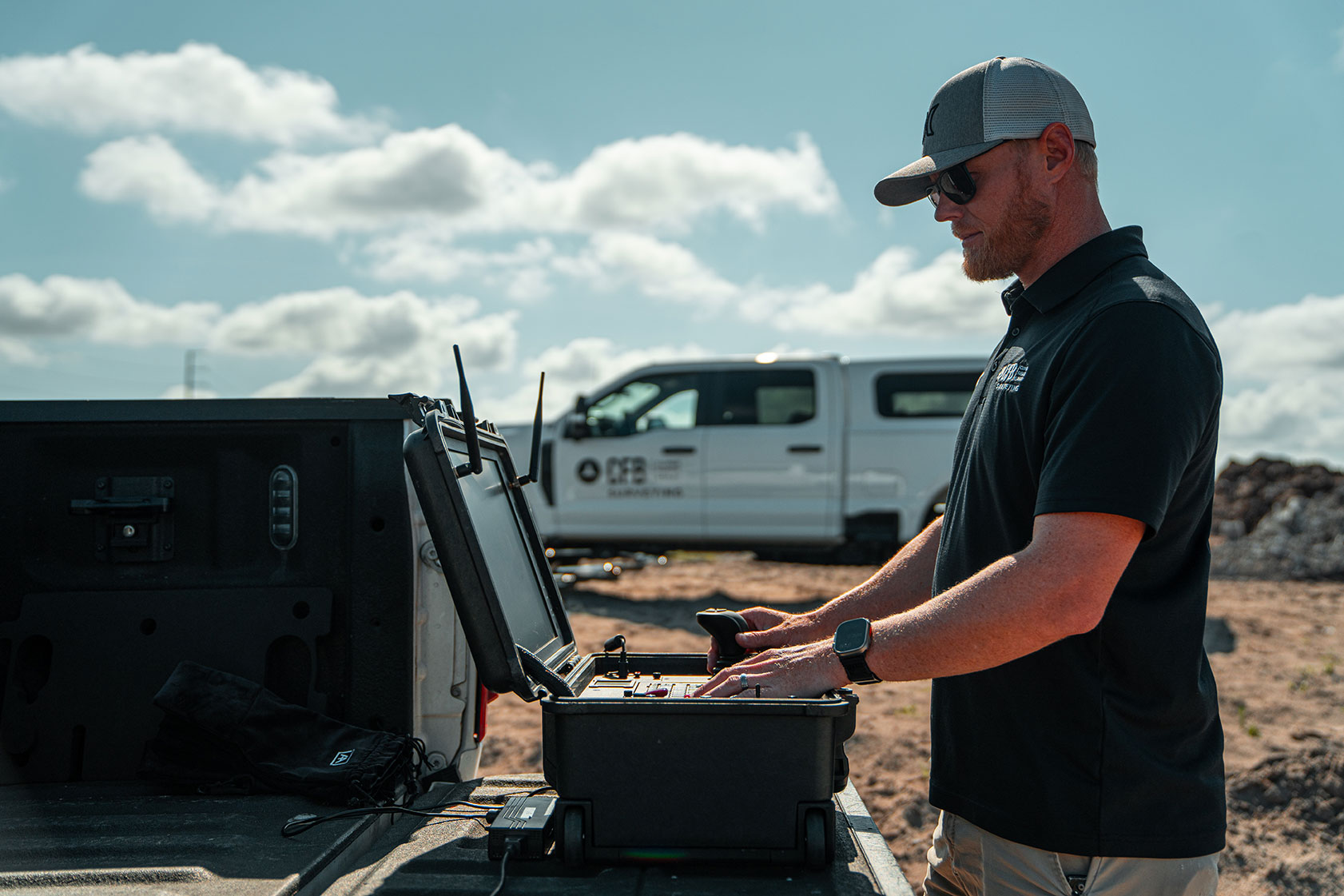
Advanced Technologies: Combining innovative technologies and expertise in land surveying, CFB utilizes tools like airborne LiDAR, hybrid drones, and terrestrial LASER scanners, along with cloud-based GIS software to provide a more efficient solution to surveying needs.
Streamlined Data Processing: Integration of machine learning software enhances the processing and analysis of large datasets, ensuring unmatched speed and accuracy to CFB clients.
Key focus areas include:
- Advanced Mapping and Data Collection
- 3D Modeling and Visualization
- Infrastructure Planning and Management
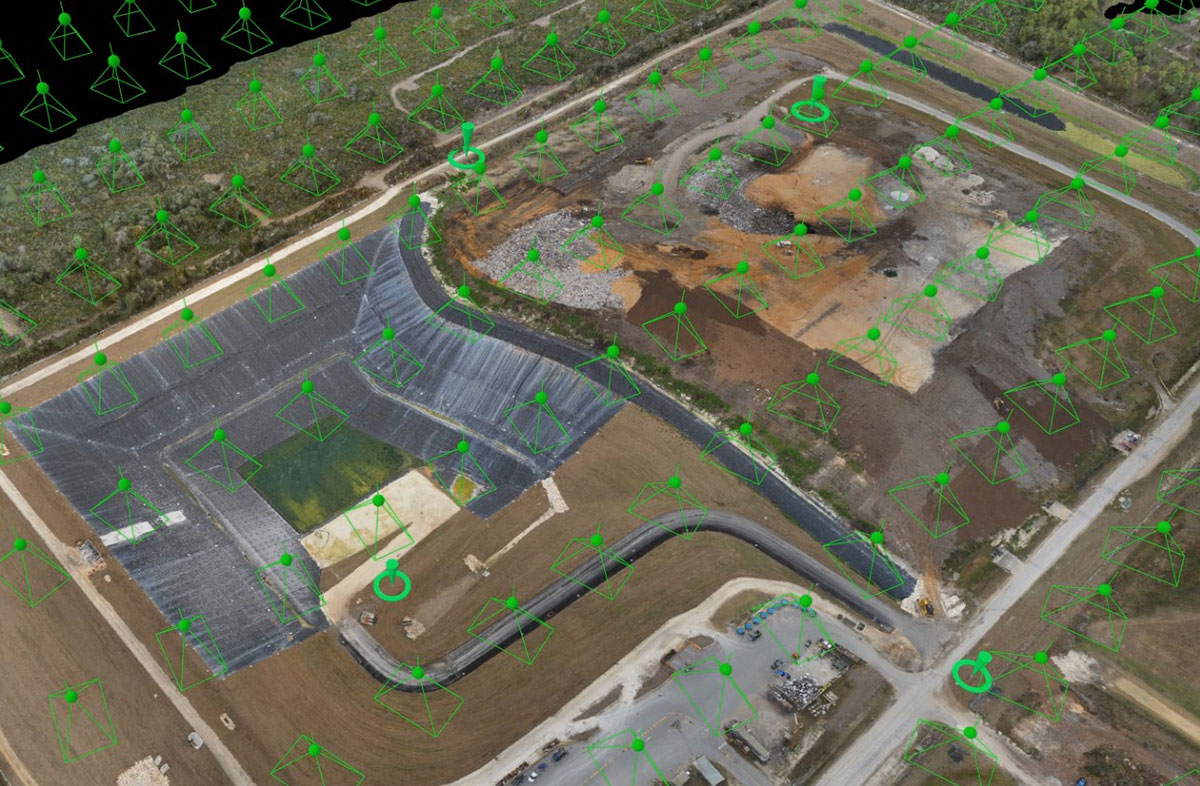
CFB’s Geospatial Division utilizes advanced technologies and methodologies to capture, analyze, and interpret spatial data. By integrating geospatial technology into land surveying practices, CFB Geospatial broadens the scope of land surveying into a wide range of spatial applications.
CFB Geospatial utilizes the following software:
- Topodot
- Trimble Business Center
- RiProcess
- POSPac
- Civil3D
- GeoExpress
- Pix4DMapper & Pix4DMatic
Geospatial Services Include:
- Land Development Analysis
- Land Entitlements
- Construction As-builts
- Utility Design/Inspection
- Wetland Monitoring
- Aerial Imagery
- FEMA Permitting
- Asset Management
- Commercial Development
- Industrial Development
- Road Surface Analysis
- Commercial Construction
- ADA Survey
- Topographic Verification
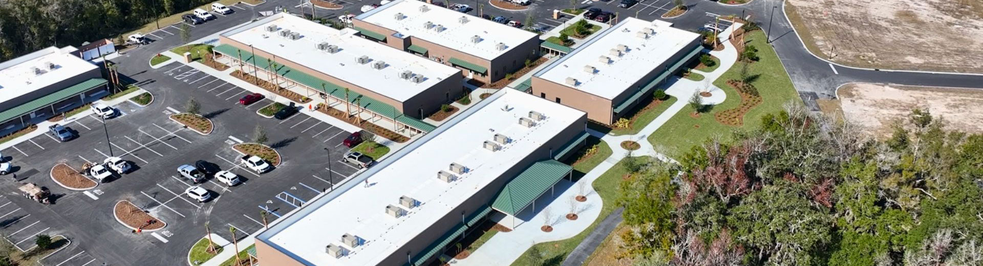
Related Projects
Experience the difference that decades of expertise, a broad skill set, and a client-focused approach can make in your next project.


Our Geospatial Team
Geospatial Team consists of:


Locations


CFB Ocala Has a New Home! Learn more about CFB Ocala.