Professional Land Surveying and Consulting Services

Why Choose CFB Surveying?

Clear Communication: We prioritize responsive, transparent communication, keeping you informed throughout the project.

Expertise You Can Trust: Our experienced surveyors offer a blend of technical knowledge and insightful consulting, ensuring you make informed decisions. By collaborating with our in-house GIS, mapping, and geospatial experts, we deliver the most accurate and timely spatial information for your project needs.

Tailored Solutions: Whether it’s a new construction project, property development, or boundary determination, we deliver precise and timely results to meet your specific needs.

With over 35 years of distinguished service, CFB has established itself as a trusted and dependable partner, boasting a track record of delivering top-tier results within stringent deadlines. This positions CFB as a leader in Florida’s surveying industry.

CFB's proficiency extends across a range of land surveying services including:

  • Unmanned Aerial Systems (drone LiDAR & photogrammetry)
  • Boundary Surveys
  • Topographic Surveys
  • As-Built Surveys
  • Route Surveys
  • Mean High Water Surveys
  • ALTA/NSPS Land Title Surveys
  • Subdivision Platting
  • Submerged- Land Leases
  • Legal Descriptions
  • Construction Staking
  • Elevation Certificates
  • Expert Witness Testimony
  • Specific Purpose Surveys
  • NPDES Permitting

CFB Surveying utilizes the following technology assets:

Survey Instruments

Trimble S5 Robotic Total Stations, Trimble TSC5 and TSC7 Data Collectors, Trimble DiNi Digital Levels

GPS Equipment

Trimble R12i, R12, and R12LT GPS Receivers

Software

Autodesk Civil3D, Bentley Microstation, Trimble Business Center, Pix4D, Global Mapper, ArcGIS Advanced, ArcGIS Basic, ArcGIS Spatial Analyst Extension, ArcGIS 3D Analyst Extensions, ArcGIS Online, QGIS, Microsoft, Web based scheduling and project management software, cloud based servers.

Geospatial Equipment

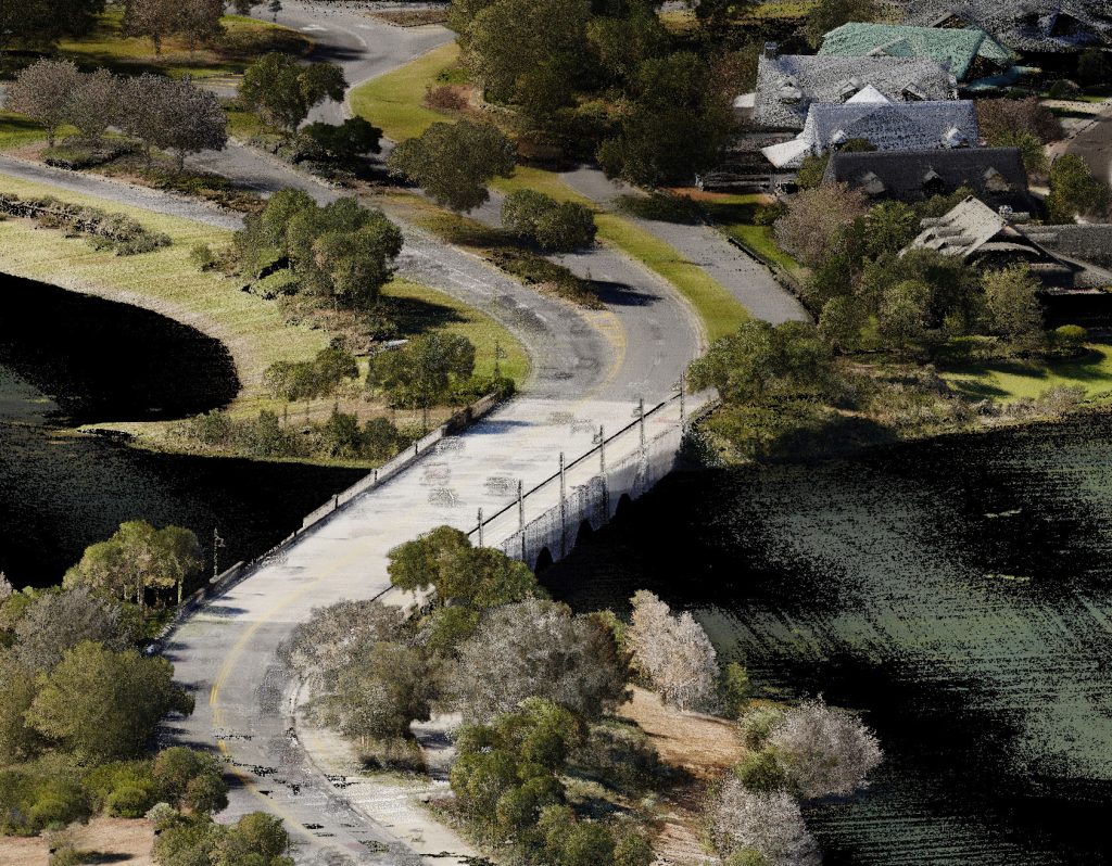
Harris Hybrid Drone with Reigl VUX-120 LiDAR Sensor, Trimble X7 Laser Scanner

Field Vehicles

4WD Pickups, UTVs, Jon Boats

Related Projects

Experience the difference that decades of expertise, a broad skill set, and a client-focused approach can make in your next project.

Our Surveying Team

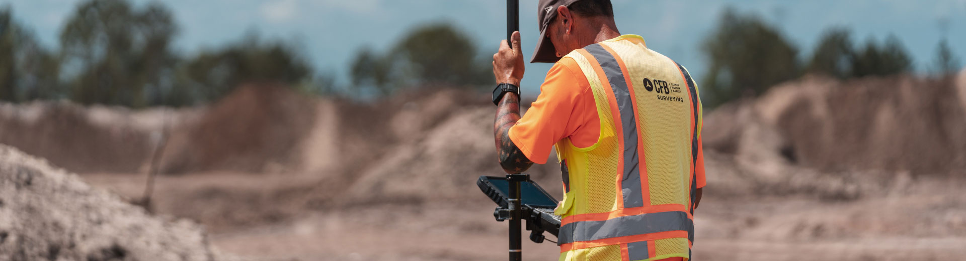
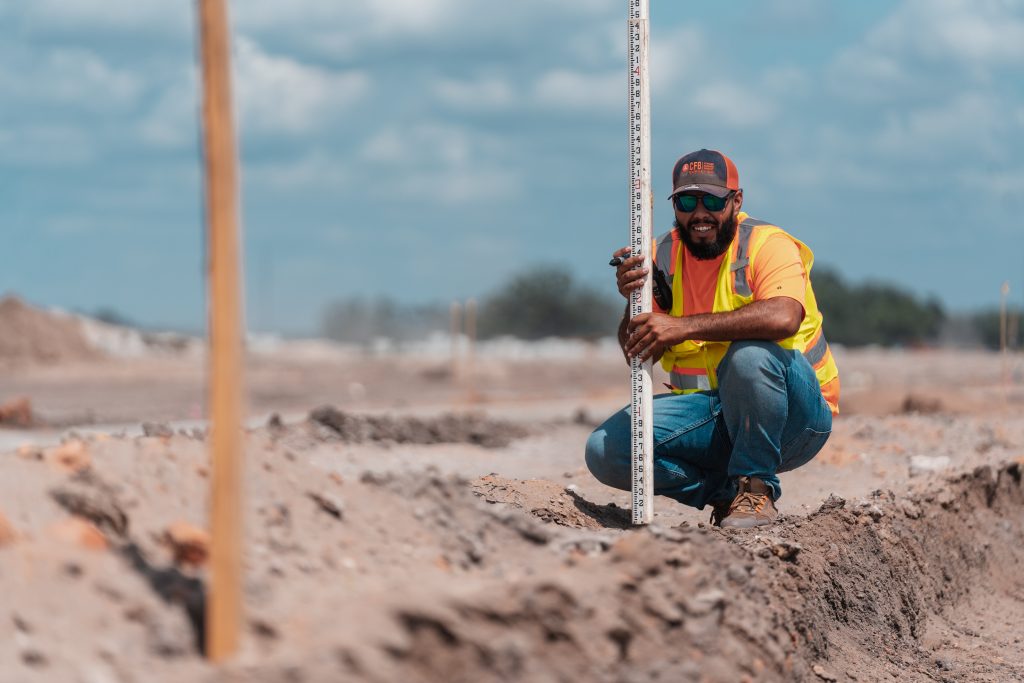
The professional CFB surveying team consists of:

  • Professional Surveyor and Mappers
  • Surveyor in Training
  • Office/CAD Technicians
  • Field Personnel
  • Administrative Assistants

Jeremy Hallick, PSM

VP | Principal

James “Hunter” Blair, PSM

VP | Principal

Kaye Jameson, PSM

Project Manager

George Gibson, PSM

Survey Manager
Construction

David Smith, SIT

Project Manager

Tyler Tracz, PSM

Project Manager

Chris McLaughlin, PSM

Project Manager

David Shaw, PSM

Project Manager

Matt Simpson, PSM

Project Manager

Tim Phipps

Project Manager

Brian Sumner

Geospatial Manager